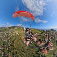
 Southwest
Arco da Calheta
Over the terraces
- Location
- between Ponta do Sol and Madalena do Mar
- Landing
- Gravel beach in the valley
- Who is it for
- Tandem flight on the west coast
Guides
Language
EnglishCurrency
US dollar · $Prices on GetYourGuide appear in your chosen currency.
Guide · Flight areas
High above the banana terraces, the wing takes off, and it lands back down on the pebble beach below. Here you can see the flight areas of the west coast and the island on a map, with a link to Google Maps.
Editorial team gleitschirmfliegenmadeira.comUpdated on 5 October 20266 min read13 sources
In short
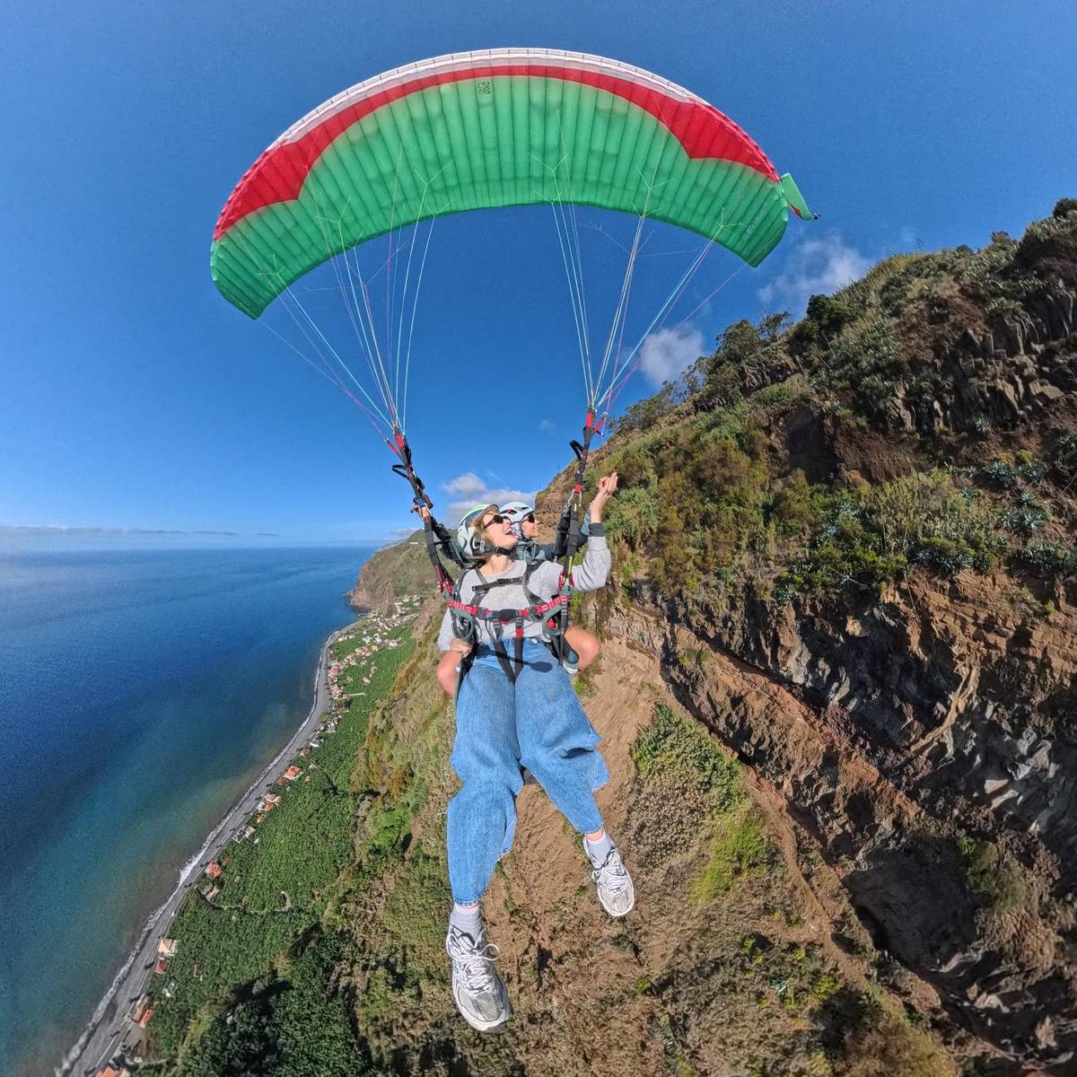
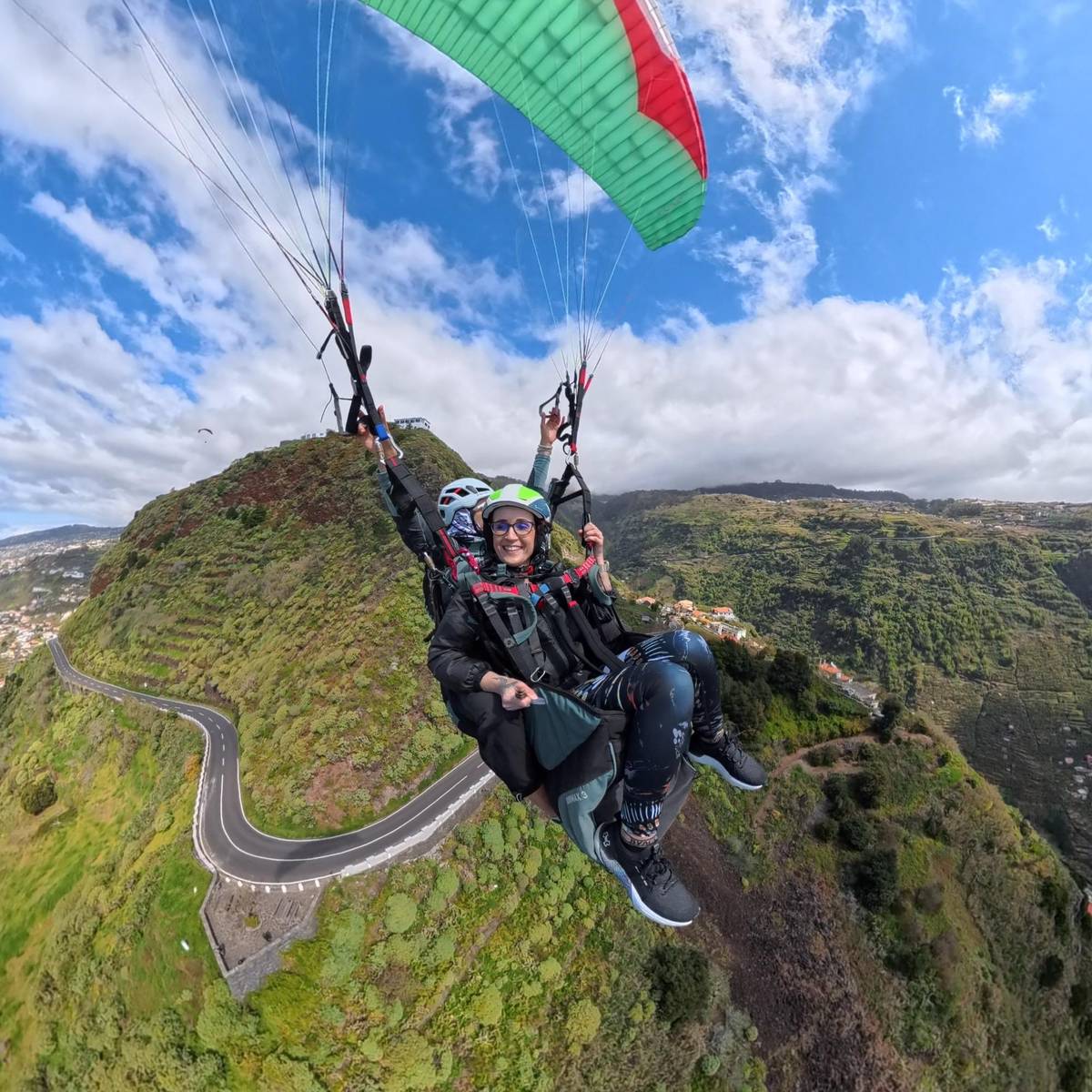
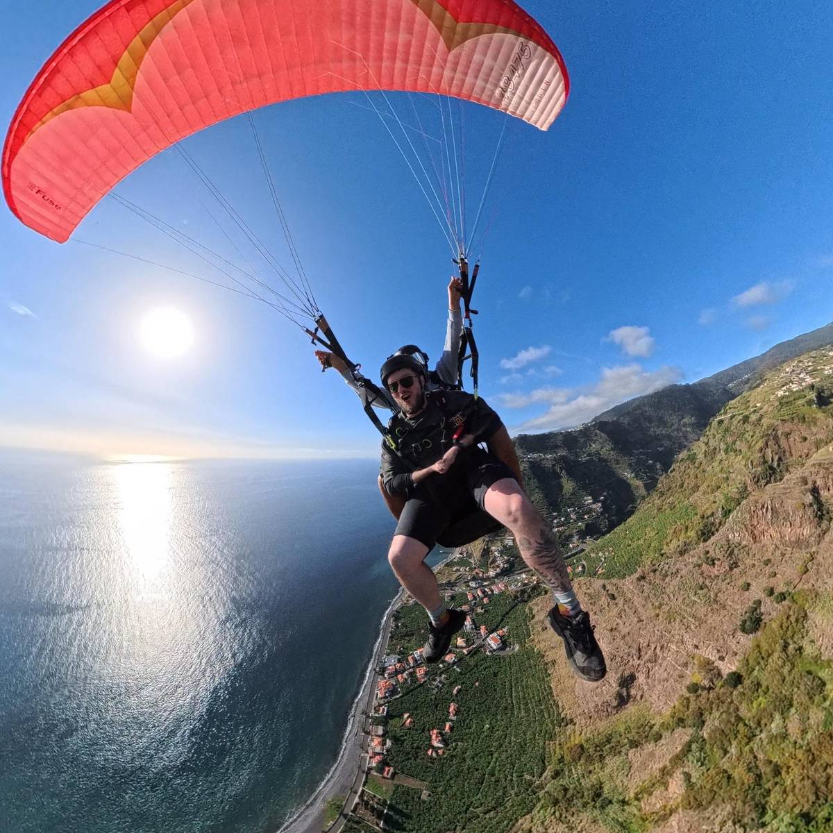
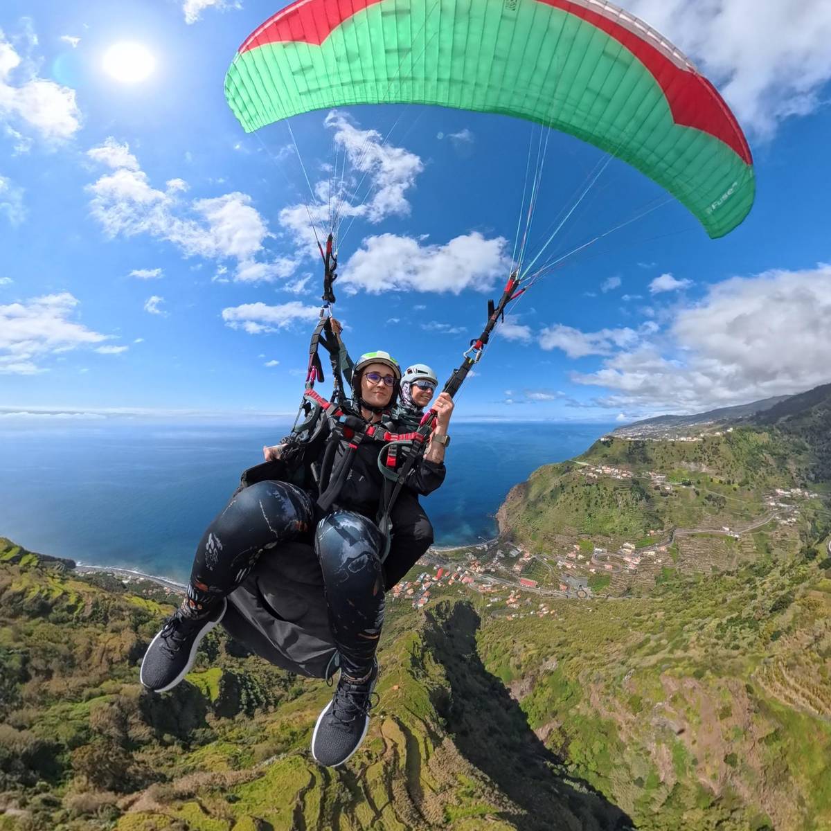
When people think of paragliding in Calheta, they usually mean the coastal strip between Ponta do Sol and Calheta in the southwest of Madeira. Here, steep slopes full of terraces drop down to the Atlantic, with small villages and pebble beaches below. This mix is ideal for paragliders: space to take off above, and a flat stretch of sea level to land on below.
The municipality of Ponta do Sol, which also includes Canhas and Madalena do Mar, is known for having the most sunshine hours on the island throughout the year.4 Generally, the south coast is warmer and drier, while the north and the mountains get more wind and rain.5
The tour listed on this page meets at Canhas, and the meeting point is a free parking lot in Madalena do Mar. From there, the provider takes you to the launch site; the transfer from the landing site back to the launch site is included in the price. Which launch site the pilot chooses on your day depends on the wind and weather, and that decision is made by the pilot alone.
How it works
Meeting Point
You meet the provider at a free car park in the village.
Transfer
The path to the takeoff site is included in the price; you do not drive yourself.
At the launch site
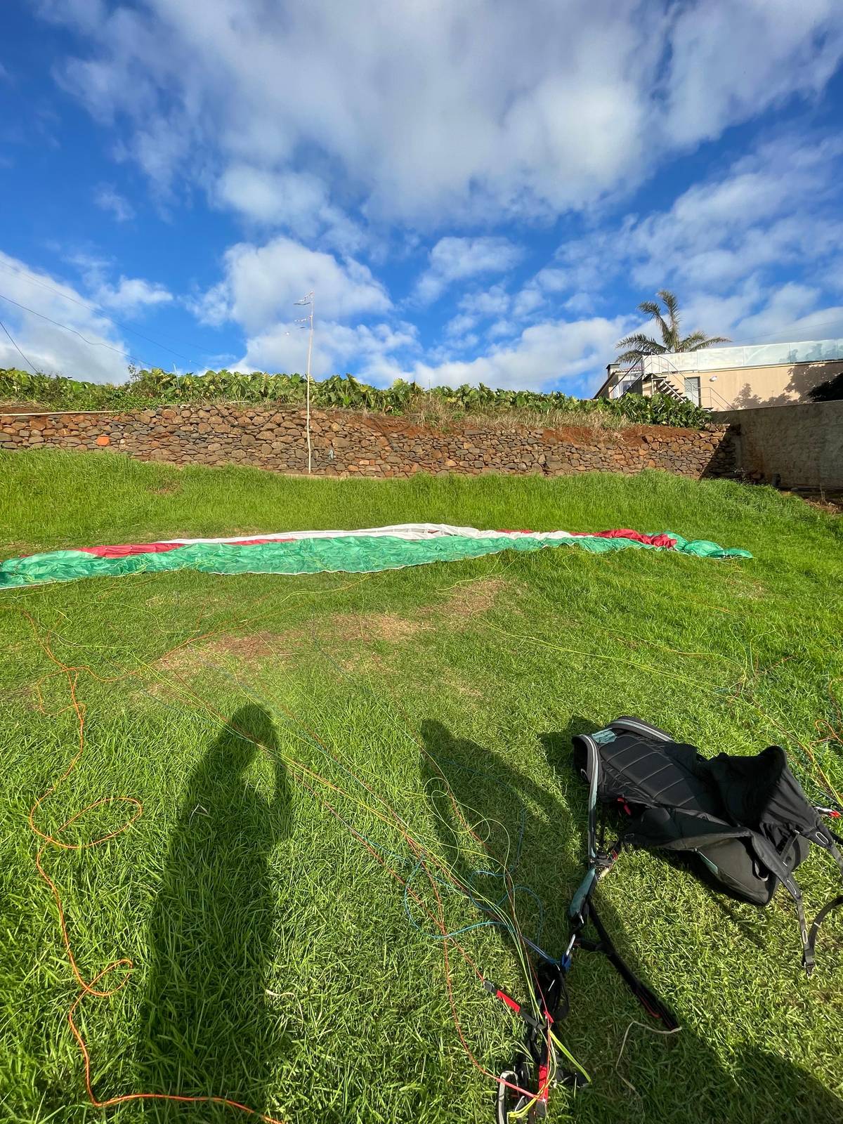
The safety equipment is provided, and the pilot explains the takeoff.
In the air
This is how long the flight lasts on average, over terraces and sea.
Landing
In a report from Visit Madeira, the paraglider lands on the pebble beach of Madalena do Mar.3
Visit Madeira describes a flight over Madalena do Mar, with the launch site in Arco da Calheta, high up between Ponta do Sol and Madalena do Mar.2 Looking down from the launch site in Arco da Calheta, you see the whole bay below you, with the roofs of the village, the coastal road, and the dark pebble beach.
Arco da Calheta is no random place. The municipality is among the first areas of the island to be settled and cultivated after its discovery.6 The terraces you fly over are the result of centuries of work. From above, they look like green steps reaching all the way to the sea.
You can also get a great view of the flight area without a wing. From the Achada de Santo Antão viewpoint, you look out over Arco da Calheta and across to Madalena do Mar, which is known for its fishing quarter.7 If you want to get oriented before the flight or show companions where it takes off, you'll find the right spot there.
Flying areas
| Spot | Coast | What makes it special |
|---|---|---|
| Arco da Calheta | Southwest | Takeoff for flights over Madalena do Mar |
| Viewpoint Madalena do Mar | Southwest | one of the most popular takeoff sites |
| Prazeres | West | one of the most popular takeoff sites |
| Pico da Cruz | no secured position | one of the most popular takeoff sites |
| Porto da Cruz | Northeast | windier, wilder north |
Takeoff sites according to Visit Madeira; the pilot chooses on the day of the flight based on wind and weather.215
Places compared
SouthwestOver the terraces
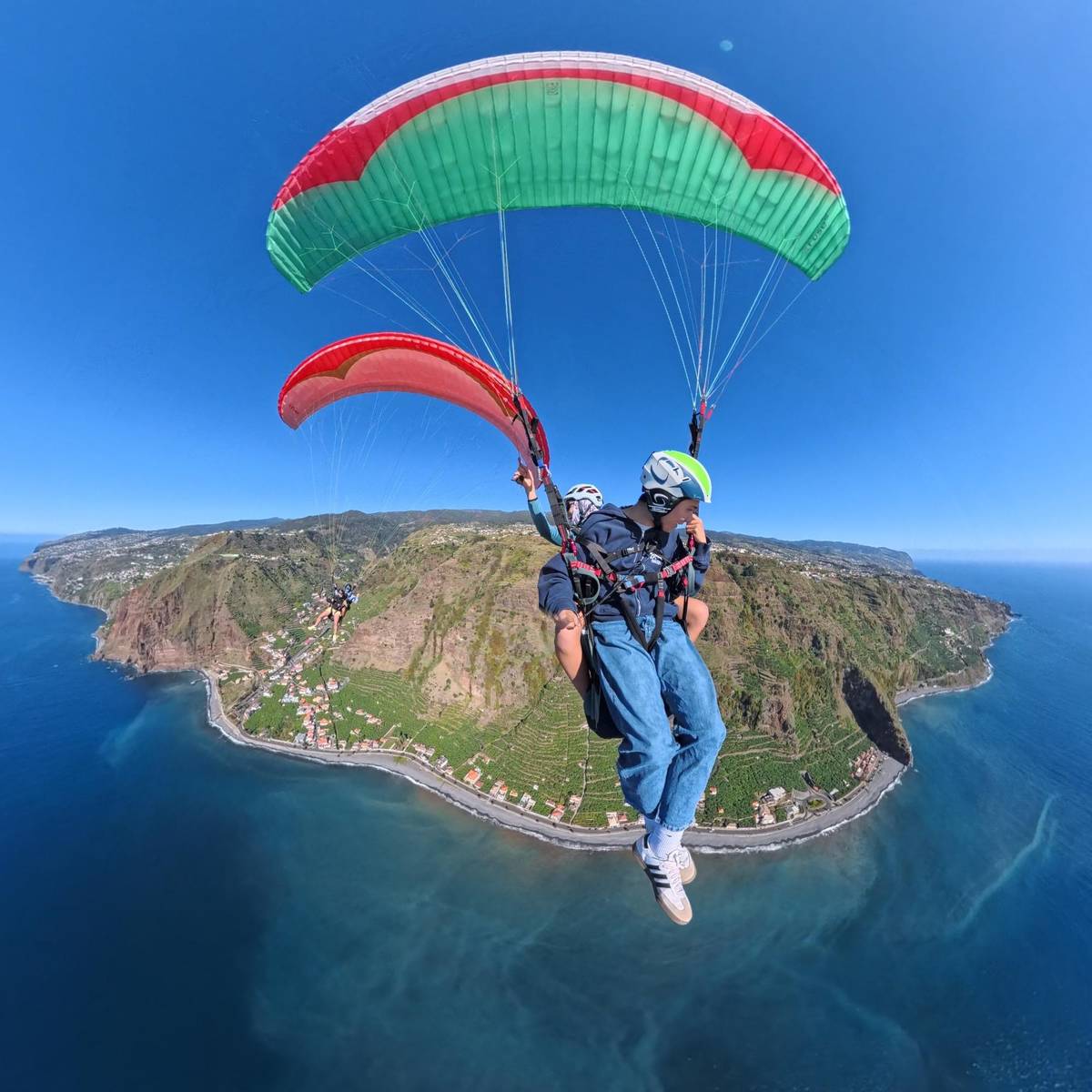 West
In the west of the island
 Northeast
Wild northeast
Decision helper
Where do you live, and what are you looking for?
Below them, Pico da Cruz, the viewpoint of Madalena do Mar, Porto da Cruz and Prazeres are the most popular.
Down by the sea lies Madalena do Mar, one of the three parishes of Ponta do Sol.8 In the Visit Madeira report, the tandem wing sets down gently on the village's pebble beach.3 Landing in Madalena do Mar is a moment you'll gladly remember: the ground slowly comes closer, your feet touch the stones, and the wing collapses behind you.
As a guest, that has a practical advantage. Because the meeting point of the tour is in Madalena do Mar, your car is right nearby after the flight. You do not need to be brought back down the mountain; instead, after landing you are already where you started, and you can wind down the day by the water.
Keep in mind that a pebble beach is uneven. Sturdy, closed-toe shoes are mandatory anyway, and they also help with the last steps after touchdown. Anyone who arrives barefoot is not allowed to fly; this is explicitly stated in the terms of the offer.
Map
The west around Ponta do Sol is the flight area for this tour; Funchal and the airport lie further east.
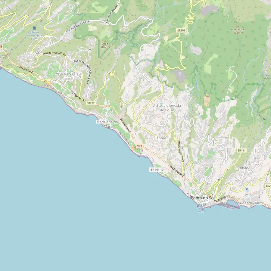 1Madalena do Mar2Arco da Calheta3Canhas4Ponta do Sol
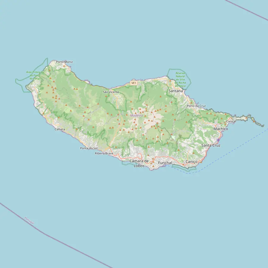 5Calheta6Prazeres7Paul da Serra8Funchal9Airport10Porto da Cruz
The village belongs to the municipality of Ponta do Sol.8 In a flight report from Visit Madeira, the tandem paraglider takes off from the village pebble beach.3
In Google Maps ↗High up between Ponta do Sol and Madalena do Mar lies the takeoff spot for flights over Madalena do Mar.2
In Google Maps ↗One of the three municipalities of Ponta do Sol, alongside Ponta do Sol itself and Madalena do Mar.9
In Google Maps ↗The municipality is considered the place with the most hours of sunshine per year on Madeira.4
In Google Maps ↗Here lies the island's first artificial sandy beach, with golden sand from Morocco.10
In Google Maps ↗Visit Madeira lists Prazeres as one of the island's most popular takeoff spots.1
In Google Maps ↗The high plateau lies at an average of 1500 meters.11
In Google Maps ↗The island's capital is 18 kilometers from Santa Cruz.12
In Google Maps ↗Cristiano Ronaldo International Airport is in the municipality of Santa Cruz.12
In Google Maps ↗Another of the most popular takeoff spots, on the northeast coast.1
In Google Maps ↗Checklist
Video
Only your click on Play brings up the YouTube video.
Besides the viewpoint of Madalena do Mar, Visit Madeira also lists Pico da Cruz, Porto da Cruz, and Prazeres as the most popular launch sites.1 Prazeres lies further west in the municipality of Calheta, above the coast. Anyone living on the west side of the island has often already seen this place on the way to hikes.
Pico da Cruz is also listed by Visit Madeira as one of the most popular launch sites on the island.13 It is not marked on the map of this page; if you want to go there, have the route described by the provider or locally. For a tandem flight, this does not really matter, because the pilot chooses the launch site.
You do not have to worry about choosing for a tandem flight. The pilots know the launch sites and decide, depending on wind direction, where it is safe to launch on any given day. What matters most to you is where the meeting point is and how long it takes to get there.
On the other side of the island, on the northeast coast, lies Porto da Cruz, also one of the popular takeoff sites.1 Paragliding in Porto da Cruz is a completely different landscape: high green cliffs, a wild Atlantic, and a village that nestles against the coast. If you stay in the east or north, you will find a closer takeoff site here.
The north, however, is usually windier and rainier than the south.5 That does not have to be a disadvantage for a flight, because paragliders need wind. It does mean, though, that conditions can vary more from day to day. Whether a flight is possible is decided here too solely by the local pilot.
The tour on this page flies along the west coast, not in Porto da Cruz. If you want to see the north, plan a separate day trip there and enjoy the view from the ground. For the flight itself, the sunny southwest coast is the first choice for most tandem offers.
Behind the west coast, the land rises steeply to the high plateau of Paul da Serra, which averages 1500 meters in elevation.11 During the flight, you see the slopes reaching upward, often with clouds lingering on the mountains. This backdrop of sea, terraces, and mountains is what makes a flight along the west coast so impressive.
For planning purposes, the high plateau is a good indicator of the weather. If there are thick clouds up there, it can still be sunny at the coast, and vice versa. The pilots watch this closely. For you, that means: do not let a cloudy view from your hotel window discourage you before the provider has checked in.
Anyone who still has time after the flight can visit the high plateau by car. The drive up shows you the landscape you just flew over from a new perspective. Bring a warm jacket, because up there it is often significantly cooler than on the beach of Madalena do Mar.
The meeting point of the tour is a free parking lot in Madalena do Mar. If you come by rental car, you will find a spot there without having to search for long. If you come by bus or taxi, you should allow enough time so that the appointment does not start under pressure. You can plan the route directly using the Google Maps link on this page.
From the meeting point, the provider takes the way up to the launch site. You do not have to drive a steep road into the mountains yourself. This is especially pleasant for guests who are not yet familiar with the island's winding roads and would rather relax before the flight.
Anyone staying in Funchal can find more on routes and travel times on our page about getting there from Funchal. And once you have found the meeting point, you can easily extend the day: a coffee in Madalena do Mar, a walk by the water, or an excursion to Ponta do Sol are all right nearby.
Secure the Flight
Book now, pay later, and cancel for free up to 24 hours before.
At several places on the island. Visit Madeira names Pico da Cruz, the viewpoint of Madalena do Mar, Porto da Cruz, and Prazeres as the most popular launch sites.1
In Madalena do Mar. The meeting point is a free parking lot in the village; from there, the provider takes you to the launch site.
Often on the beach. In a flight report from Visit Madeira, the tandem paraglider lands on the pebble beach of Madalena do Mar.3
No. The transfer from the landing site to the takeoff site is included in the tour price.
Because of the sun and calmer weather. The south coast is usually warmer and drier, the north windier and rainier.5
It is a popular takeoff site. Porto da Cruz is on the northeast coast; however, the tour on this page flies in the west.1
The pilot. He chooses the takeoff site based on the day's wind and weather; this is for your safety alone.
Sources
Read more